AgroLife software and weather stations
How often do you find yourself in a situation that you lack the information for making decisions about the activities to be performed on your farming land - what to sow and when, will the season be dry or rainy, what is the risk of infections or pests?
To aid you in this process - you can use precise data from weather stations about the temperature and humidity of air, soil and leaves, precipitation and wind, all in real time, via AgroLife mobile app, within the project Municipal Land Management Digitalization, conducted with the support of DeveloPPP program implemented by GIZ, Telegroup and BFC SEE network.
 WHAT IS AGROLIFE
AgroLife is a unique platform enabling easier and automated management of agricultural production and all types of land. It is intended primarily for agricultural producers providing them better monitoring and risk management, as well as for local governments allowing them to systemically monitor the use of state-owned land and efficient management of the Field works record.
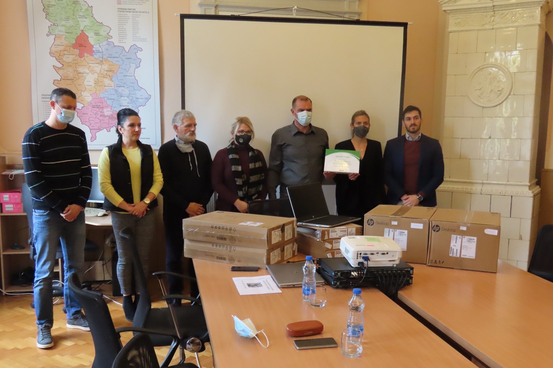
Through Municipal Land Management Digitalization project, farmers and local agriculture departments in 10 cities and municipalities in Serbia and BiH can use the application free of charge, with premium expert support and training.
 DATA FOR GOOD DECISIONS: BENEFITS OF AGROLIFE PLATFORM FOR FARMERS
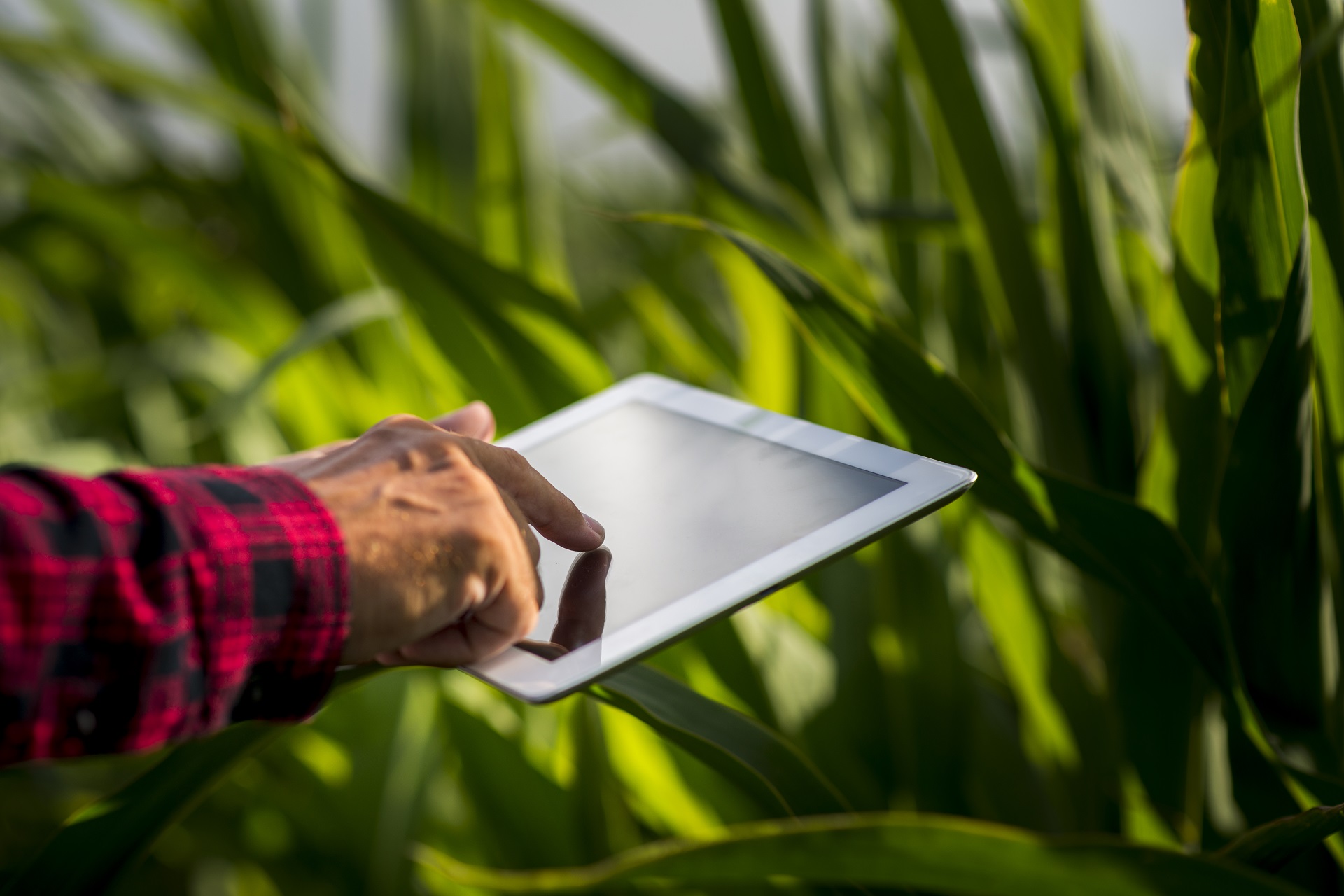
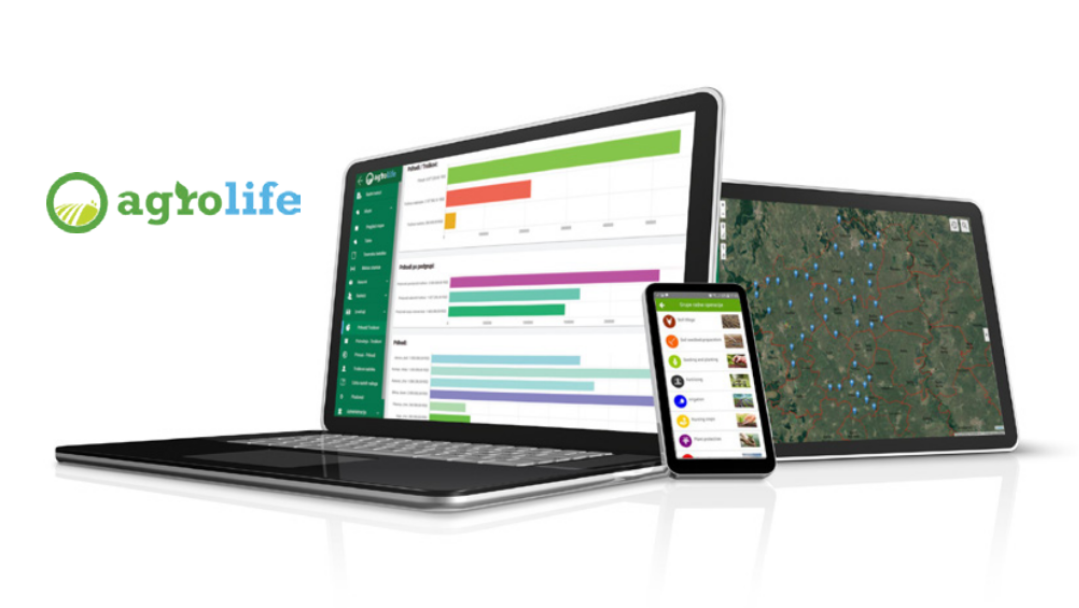
Available as a mobile phone or desktop app, AgroLife allows farmers to plan and organize crop growing more easily, and a special benefit is the large amount of data that is collected via sensors and enable better planning.
For each lot they are using, farmers can easily enter and monitor data about the crops, and have a clear image about the needed works such as irrigation, use of pesticides and other activities.
Using sensors, the app also collects precise data about the weather conditions and forecast, gives information about the land quality and density of plants based on vegetation maps, provides recommendations for agrotechnical measures, with monitoring of diseases, insects infestations etc.
EFFICIENT MONITORING: BENEFITS OF AGROLIFE PLATFORM FOR LOCAL GOVERNMENTS
 AgroLife platform as a digital assistant also helps local governments in better monitoring of activities and the quality of land provided for lease.
What benefits does Agrolife platforms bring to a municipal agronomist?
- Centralized overview of all state-owned land lessors in the municipality
- Overview of the Field works record through a centralized information system
- Comparative analysis of data from the previous years
- Electronic signing or rejection of the Field work record
- Automated control of the sowing structure and crop alternation
- Insight into all agro activities in the field in real time
- Cost and time savings related to field activities
PREDICTIONS WITH WEATHER STATIONS
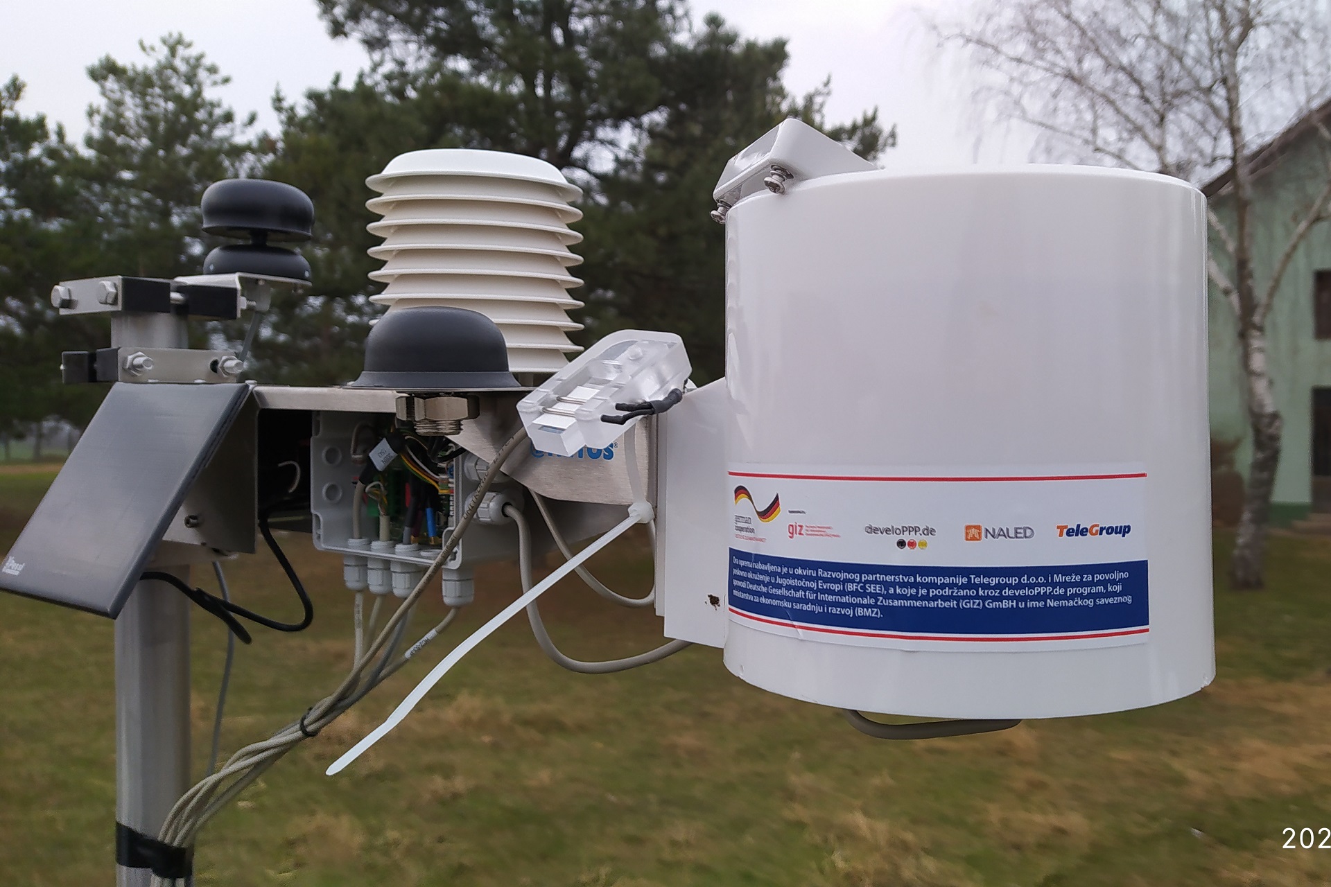
Weather stations are devices that collect data about the microclimate conditions in real time, such as the information about the temperature and humidity of air and soil, amount of precipiation, leaf humidity, sun radiation, strength of wind etc, but can also predict the emergence of diseases or pests for a large number of farming crops. The weather station data is available to all lessors of state-owned land, but also to owners of private farming households.
Through the Municipal Land Management Digitalization project, weather stations have been set up in cities and municipalities of Serbia: Bačka Topola, Inđija, Sombor, Subotica, Vrbas, and Bosnia and Herzegovina: Brod, Ljubuški, Prijedor, Srbac and Trebinje.
HOW TO USE THE APP
AgroLife application is available for download at Google Play store. The app requires users to create a user account and enter information about the land and lots, and enables monitoring of the performed activities by entering the data. The instructions manuals can be found at the link.
ABOUT THE PROJECT
Free access to AgroLife platform with premium support and training, as well as the weather stations with localized weather data, are available in selected municipalities through the Municipal Land Management Digitalization project, implemented in Serbia, Bosnia and Herzegovina and Montenegro, with the support of DeveloPPP program implemented by German Development Cooperation (GIZ), company Telegroup and BFC SEE mreža (NALED, Chamber of Commerce of Republic of Srpska, REDAH and Chamber of Commerce of Montenegro).
The project aims to achieve better management of state-owned land that are given for lease by local governments, with improved and more transparent municpal services for farmers and businesses, raising awareness and higher use of digital tools in agriculture and better use of data about the land quality. The project supports the local governments in piloting the system and building the capacities for digital land management, and encourages dialogue with the relevant ministries with the aim of systemic application of digital solutions.


